English Across the Curriculum
London
Geography of London
London lies on the River Thames , about 50 km from the North Sea . The river has influenced London for many centuries . Rising tides have flooded the city more than once. In the 1970s and 80s a large barrier was built in the eastern part of the city to stop incoming water from flooding the nation's capital.
London is divided into three main sections .
- The City is London's financial district and the oldest part of the capital . It is very small, with a size of only one square mile. Although only a few thousand people live here, hundreds of thousands pour into the City every day to work in the big office buildings of large banks and other institutions.
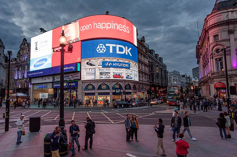
- The West End includes London's government district Westminster as well as the famous shopping streets around Piccadilly Circus and Trafalgar Square. The city's famous cinemas, theatres and bars are located in the West End. Most of London's tourist attractions are concentrated here.
- The South Bank is the area south of the Thames River. It is a cultural district with many concert halls, museums, theatres and galleries.
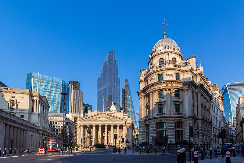
City of London with the Bank of England in the background
Image: The wub, CC BY-SA 4.0,
via Wikimedia Commons
.jpg)
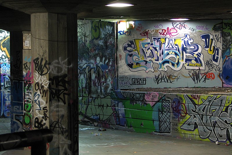
Graffiti in the South Bank district of London
Image: Benjamin D. Esham / Wikimedia Commons, CC BY-SA 4.0,
via Wikimedia Commons