Coordinates
Completion requirements
Coordinates are numbers that locate a certain point on this system. New York, for example, lies at 41° North and 74° West. While navigators in the Middle Ages and during the Age of Exploration used sextants and stars to determine their location, we use satellites and GPS to pinpoint our exact location anywhere on Earth.
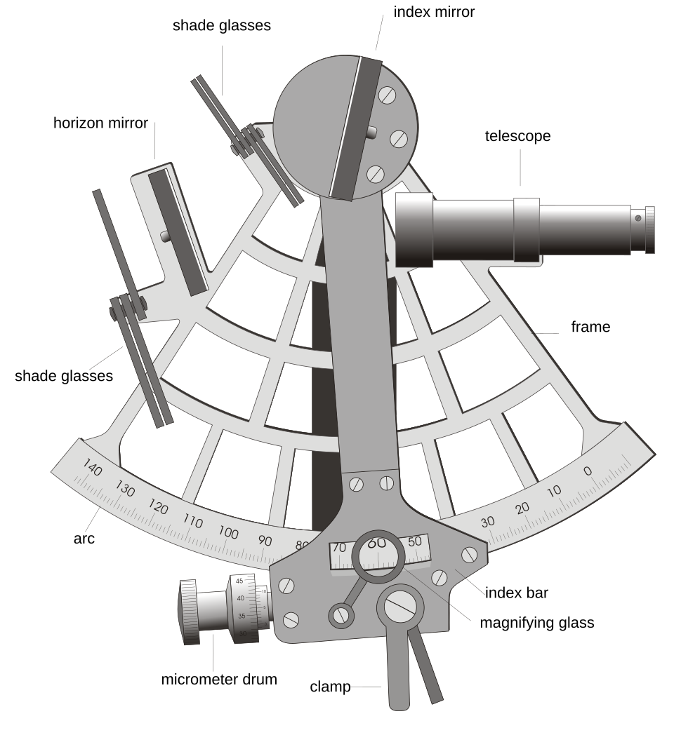
Marine sextant
Image: Joaquim Alves Gaspar, CC BY-SA 3.0,
via Wikimedia Commons
Words
- Age of Exploration = time between the 15th and 18th century during which European explorers discovered new places
- determine = find out
- GPS = Global Positioning System = system that uses radio signals from satellites to show your exact position on Earth
- locate = show where something is
- marine = about ships and sailors
- navigator = person who guides a ship in a certain direction
- pinpoint = locate, to show very exactly
- sextant = an instrument for measuring angles and distances; it is used on ships and airplanes
Last modified: Wednesday, 13 May 2026, 6:42 PM